This post contains affiliate links to trusted partners.
Let me show you my top South Gippsland walks ranging from a short 10 minutes, up to a cool 3 hours. These incredible South Gippsland walking trails combine unique landscapes of picturesque coastlines, rural surrounds, wetlands and inland rainforests.
Plus I’ll show you some easy family friendly walks as well as dog friendly walks in the Gippsland region.
These walks in South Gippsland are in order of distance – shortest to longest
- Top South Gippsland Walks – best walking trails for all abilities
- 1. Mount Nicoll Lookout
- 2. Leongatha Wetland
- 3. Port Franklin Boardwalk
- 4. Olsens Walk
- 5. Loch Suspension Bridge walk
- 6. Tarra Valley Rainforest Walk
- 7. Korumburra Skip Trail
- 8. Lime Burners Walk
- 9. Giants Circuit – Mount Worth State park
- 10. Corrigan Suspension Bridge – Tarra Bulga NP
- 11. Townsend Bluff Estuary Walk
- 12. Roy Henderson Path
- 13. Tidal River to Squeaky Beach
- 14. Tidal Overlook Circuit
- 15. Lyrebird Forest Walk
- 16. Christopher Robinson Trail – Old Port Trail
- 17. Mount Oberon – Wilsons Prom NP
- 18. George bass Coastal Walk
- 19. Koonwarra to Meeniyan – Rail Trail
- 20. Grand Ridge Rail Trail
- 21. Korumburra to Leongatha – Rail Trail
- walks in SOuth Gippsland conclusion
Top South Gippsland Walks – best walking trails for all abilities
1. Mount Nicoll Lookout
Distance: 400 mts return (200 mts one way) / 15 minutes return
Difficulty: Moderate
Trail type: one way in and out
Dogs allowed: Yes
Location: Mount Nicoll Road (via Fish Creek – Foster Rd)
Closest main town: Fish Creek
We start our best South Gippsland walks with a shortie, but a goodie.
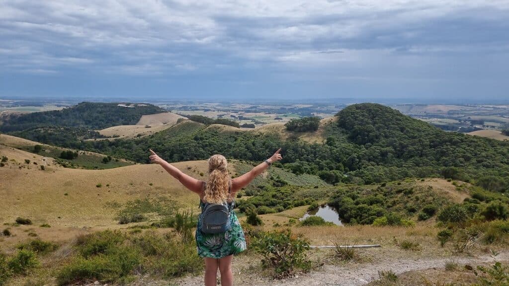
The Mount Nicoll Lookout might be the shortest hike, but the views are some of the best in all of South Gippsland. It’s one the best things to do in Fish Creek for those visiting the area.
Though the track is not very wide and at times you have to navigate over bracken and scrub, the views will ease any discomfort.
To one side of the lookout is expansive views taking in the coast of Corner Inlet as well as the iconic Wilsons Promontory. The other side encompasses the rolling green hills of South Gippsland as far as the eye can see. It is truly impressive.
Keep reading: Hiking to Mount Nicoll Lookout – A wonderful Find
2. Leongatha Wetland
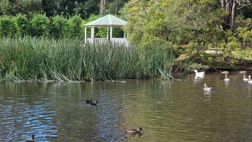
Distance: 400 mts return / 10 minutes
Difficulty: easy
Trail Type: loop
Dogs allowed: Yes (be mindful of the many birds)
Location: off Johnson St, Leongatha
Closest main town: Leongatha
A haven for bird life including ducks and geese, the Leongatha Wetland is a short but peaceful walk that makes its way around the ponds. The area is surrounded by lush plant life and trees, creating the perfect oasis in which to spend time wandering. In fact, it is hard to believe that such a pretty attraction exists so close the town CBD.
keep Reading: Leongatha Wetland – A beautiful bird sanctuary
3. Port Franklin Boardwalk
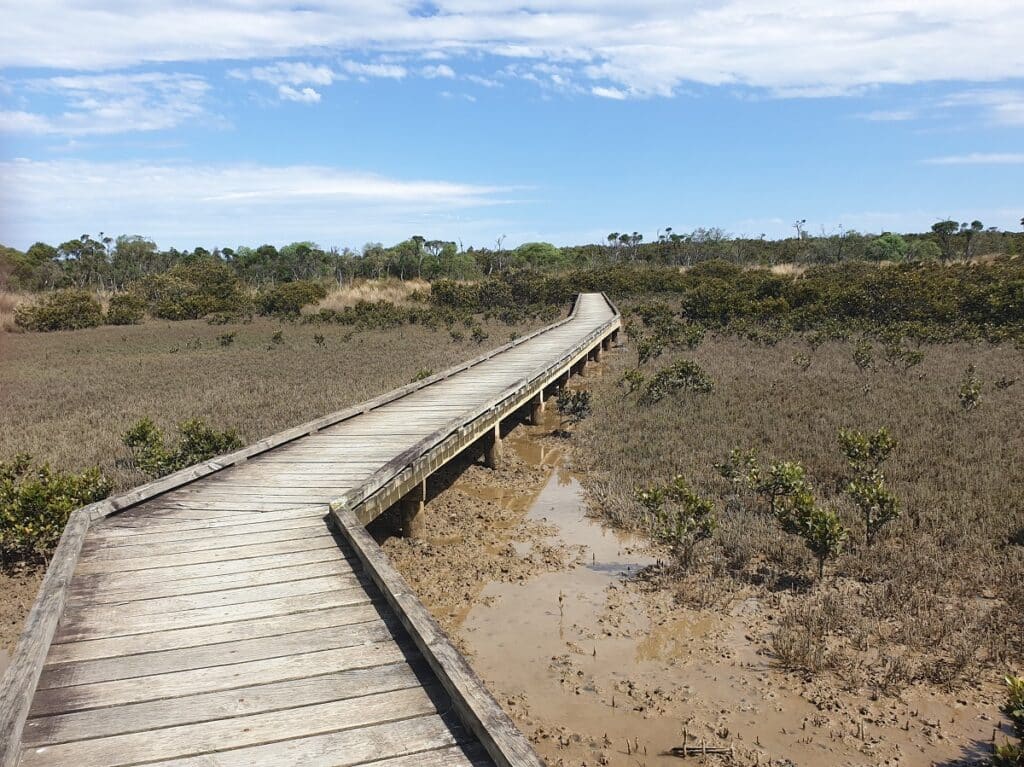
Distance: 700 mts return / 15 minutes
Difficulty: easy
Trail type: loop
Dogs Allowed: yes
Location: Fishermans Way, Port Frankin
Closest main town: Foster
Part sandy gravel, part elevated boardwalk, the family friendly Port Franklin Boardwalk takes you out over coastal salt marsh and through a vegetation of tea tree scrub and mangrove.
At low tide the muddy flats become exposed, enabling thousands of crabs come to the surface. You’ll also most likely see some cool bird life on your walk.
4. Olsens Walk
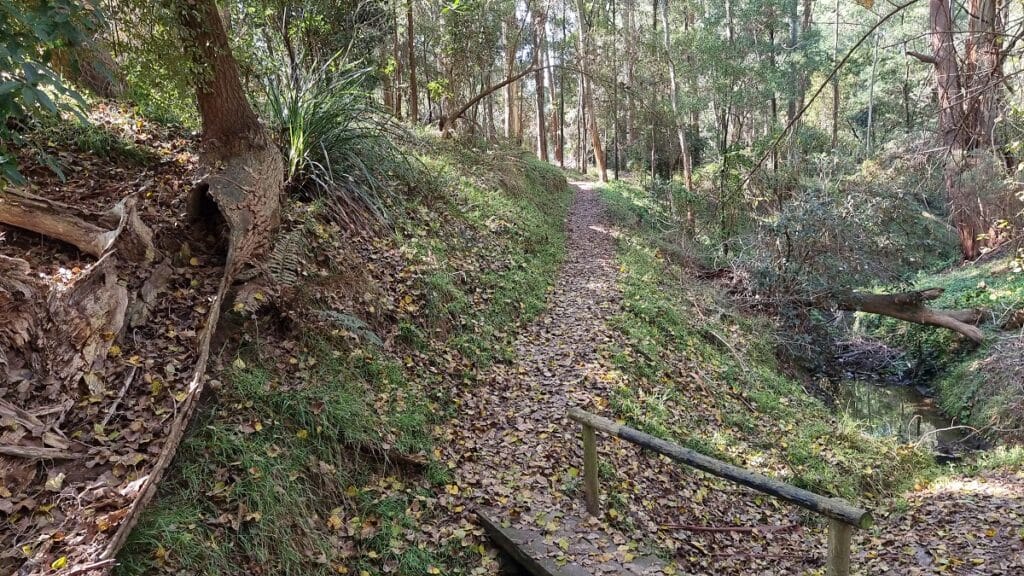
Distance: 750 mts return / 15 minutes
Difficulty: easy
Trail type: loop
Dogs Allowed: Yes
Location: in the Korumburra Botanical Gardens, Bridge St, Korumburra
Closest main town: Korumburra
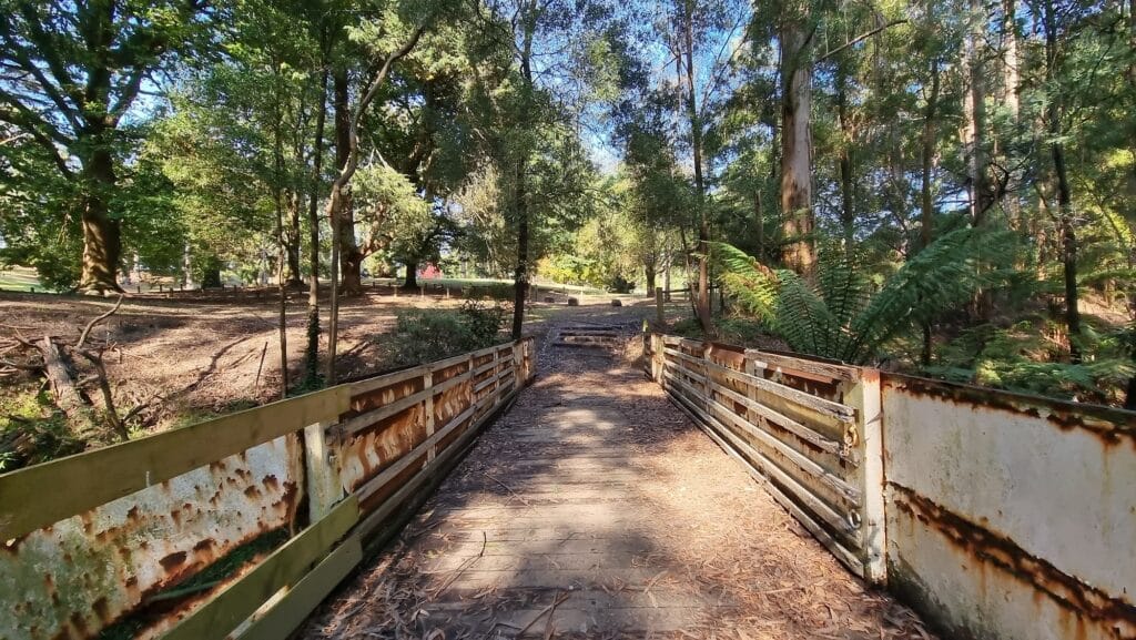
This easy walk makes it way around Coalition Creek, and is part of the Korumburra Botanical Gardens. The trail is narrow and slightly undulating but very easy to navigate.
Much of the Olsens Walk bushland is heavily overgrown but provides a shaded oasis during your stroll. There are a couple of rickety bridges that could use some upkeep but never the less, Olsens Walk is a pretty one to do.
More reading: 12 best Things to do in Korumburra
5. Loch Suspension Bridge walk
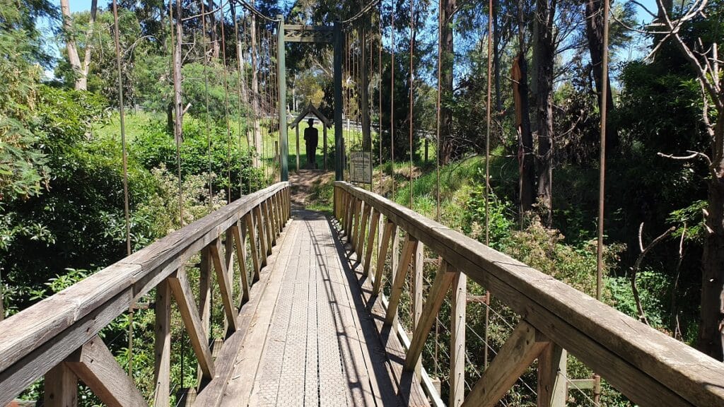
Distance: 1 km return (500 mts one way) / 20 minutes return
Difficulty: easy
Trail type: one way starting either end
Dogs allowed: Yes
Location: start from behind Sunny Side Park or at Loch Rec Reserve
Closest main town: Loch
I generally start the Loch Suspension Bridge walk from behind Sunnyside Park. Enter the tunnel which brings you out onto the Great Southern Rail Trail. Here yo’ll turn right till you see the signage taking you toward the suspension bridge and rec reserve. The bridge is short and sturdy with minimum swing.
Once you reach the rec reserve there are picnic tables and BBQ’s. Head back to the town of Loch for a meander around the many little shops and cafes.
A great South Gippsland walk for families.
More reading: 7 Ultimate Things to do in Loch
6. Tarra Valley Rainforest Walk
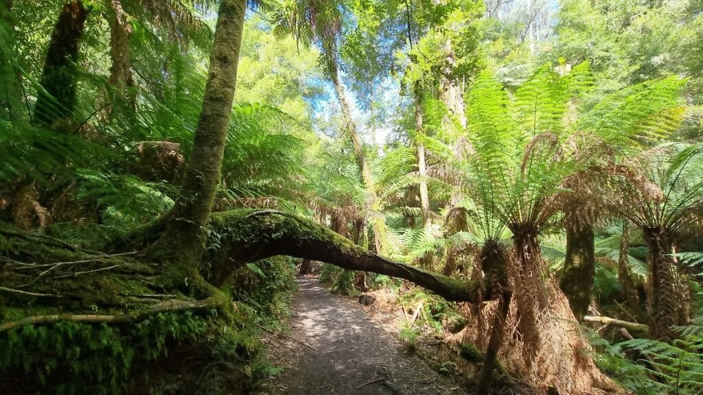
Distance: 1.4 km return ( 700 mts one way ) /20 minutes return
Difficulty: easy
Trail type: one way in and out
Dogs allowed: No
Location: Tarra Valley National Park
Closest main town: Yarram
One of the best South Gippsland walks has to be Tarra Valley. Pass over gentle running streams and through a forest of magical flora leading all the way to Cyathea Falls. This is without doubt one of my favourite places to completely lose myself in nature.
The trail is a prime example of how beautiful and striking the whole area of Tarra Bulga National park is. Hear the sounds of trickling water in the background as you wander through the well shaded rainforest.
More reading: Tarra Bulga National Park – How to plan your visit
7. Korumburra Skip Trail
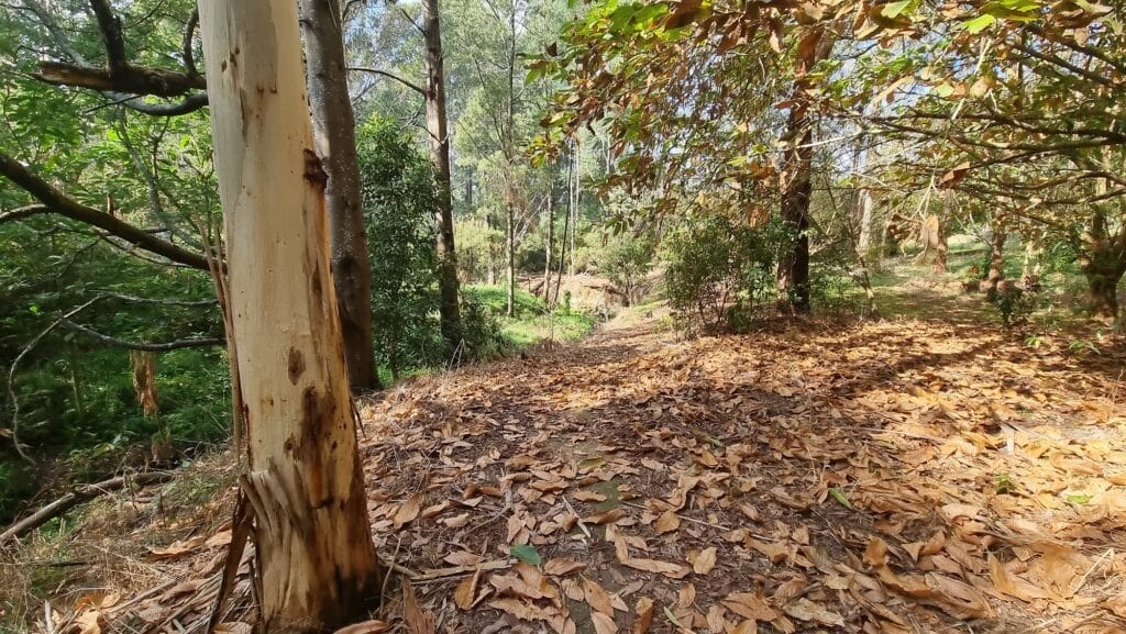
Distance: 1.5 km return (750 mts one way) / 25 minutes return
Difficulty: easy
Trail type: one way in and out
Dogs Allowed: Yes
Location: End of Silkstone Rd, Korumburra
Closest main town: Korumburra
A very pretty walk that takes you toward Richies Reserve and back. The trail is an easy one to walk and it follows the route of the skipway dating back to the early 1900’s when coal was transported by horse drawn power.
Taking you through dense wooded areas, the setting is a quiet one. A good place to spot wildlife such as wallabies, as well as birds.
More reading: 12 best Things to do in Korumburra, South Gippsland
8. Lime Burners Walk
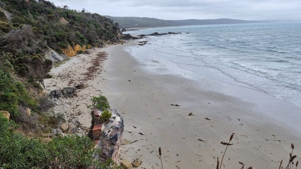
Distance: 2 km return (1 km one way) / 20 minutes one way
Difficulty: moderate
Trail type: one way in and out or as a loop ( you can connect back around along the beach at low tide only)
Dogs Allowed: No
Location: trail starts end of Bayside Drive, Walkerville South
Closest main town: Tarwin Lower
The Lime Burners track connects Walkerville South to Walkerville North. It passes above the historic lime kilns that can be reached along the beach. The historic cemetery can also be seen via a short detour, and is where some 30 graves of the lime burners and their families have been laid to rest.
Walkers will need to navigate some steep but short inclines along the way. I recommend attempting the trail on a dry day when conditions are more ideal.
More Reading: 5 Best Beachy Things to do in Walkerville
9. Giants Circuit – Mount Worth State park
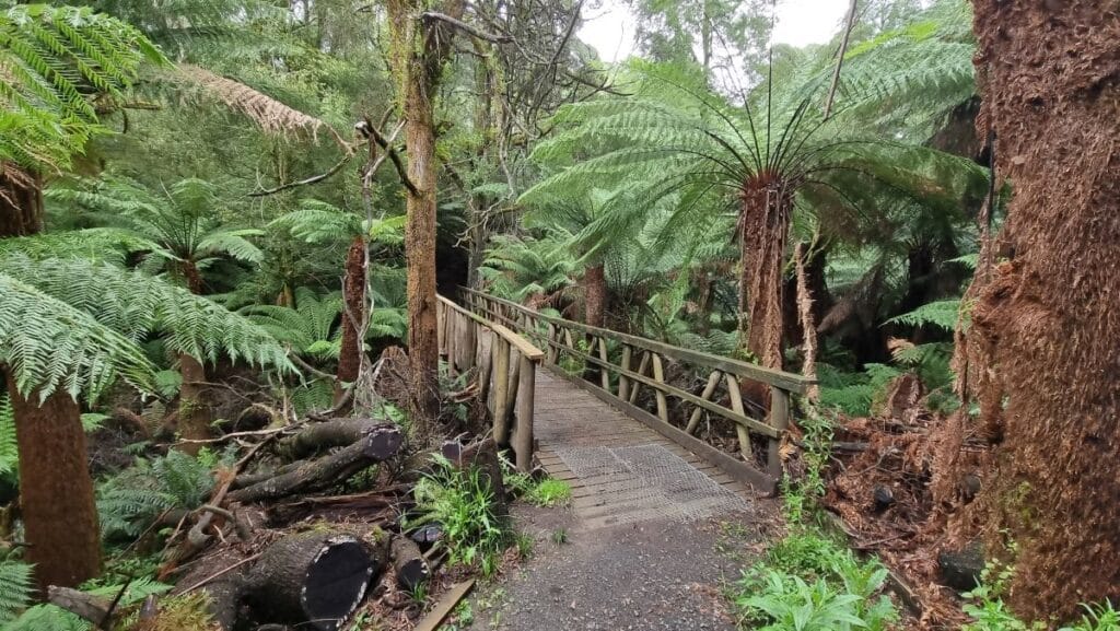
Distance: 1.8 km return
Difficulty: easy
Trail type: circuit
Dogs allowed: No
Location: Allambie Estate Rd, Seaview
Closest main town: Warragul
Technically located in the Baw Baw Shire, the Giants Circuit Walk in Mount Worth State Park gets a solid mention due to its neigbouring proximity to the region.
Featuring the “standing giant”, a 300 year old mountain ash tree with a girth of 14 metres reaching high into the sky.
The trail is filled with running streams, extensive fern forests and lots of gorgeous moss lighting up the trail. You’ll also see plenty of interesting fungi hugging the trees on this stunning and enchanting walk.
More reading: Best Mount Worth State Park Walks – easy guide
10. Corrigan Suspension Bridge – Tarra Bulga NP
Distance: 2.4 km return / 50 minutes return
Difficulty: easy
Trail type: loop
Dogs allowed: No
Location: from the visitors centre at Tarra Bulga National Park
Closest main town: Yarram to the south OR Traralgon to the north
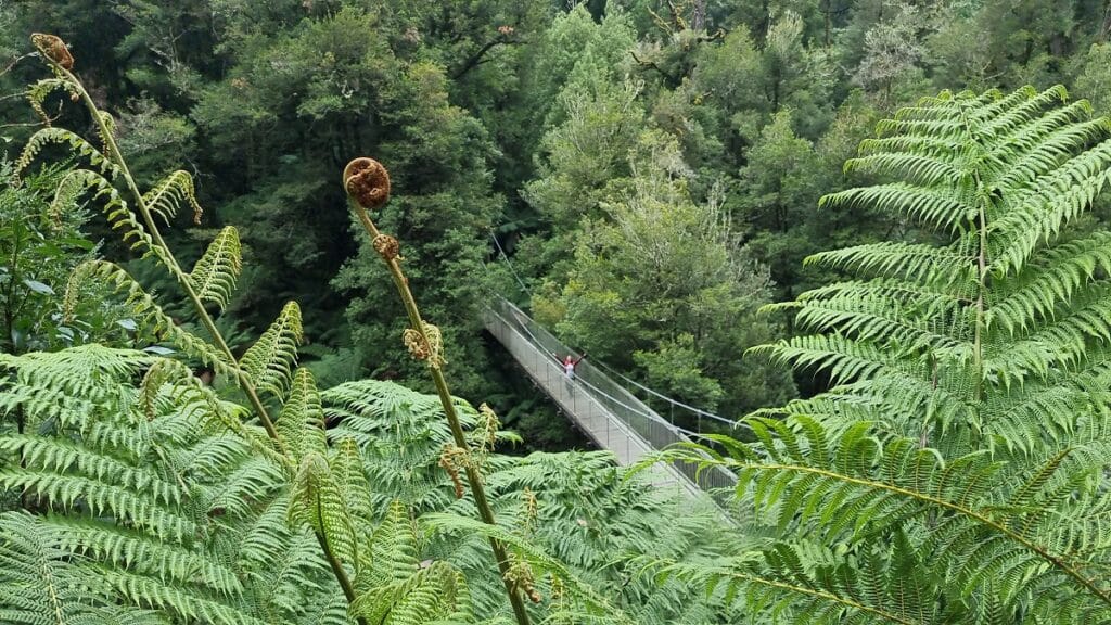
The Corrigan Suspension Bridge is without doubt the most popular place to visit in Tarra Bulga National Park. You’ll make your way down to the bridge via Lyrebird Ridge & Ash Track, and it’s a gentle descending trail. The view point from the bridge takes in an incredible amount of ferns within the gully, a breathtaking sight.
I recommend from here linking onto the picturesque Fern Gully trail, where ancient myrtle beech trees are simply spellbinding. From here, follow the signs back up toward the carpark.
More reading: Tarra Bulga National Park – How to plan your visit
11. Townsend Bluff Estuary Walk
Distance: 3 km return (1.5 one way) / 40 minutes return
Difficulty: easy
Trail type: one way in and out with a loop section
Dogs allowed: Yes (but not on the beach portion – stay on the track)
Location: go to the end of Foreshore campground on The Esplanade, Inverloch
Closest main town: Inverloch
For a gentle and rewarding walk, you have to do the Townsend Bluff Estuary Walk toward Screw Creek. This hidden gem is one of my favourites and is never overcrowded.
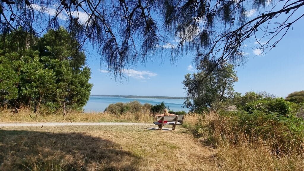
Pass through native bush and mangrove with sections of elevated boardwalks. You’ll cross over the Screw Creek bridge which is where the track separates and gently rises revealing stunning views overlooking Anderson’s Inlet. The half walk mark is a lonesome park bench before you wind your way back down. You can also walk along the beach from the boardwalk area back to the car park or into town.
More reading: 14 Awesome Things to do in inverloch you’ll love
12. Roy Henderson Path
Distance: 2.4 km one way / 4.8 km return / 45 minutes one way
Difficulty: easy
Trail type: one way in and out from either end, or can be completed as a loop along the beach at low tide
Dogs allowed: Yes
Location: starts at end of Manuka St, Sandy Point
Closest main town: Fish Creek or Foster
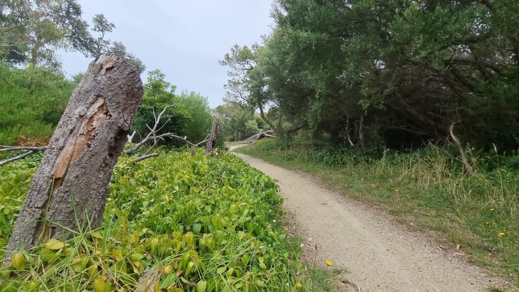
One of the best things to do in Sandy Point is the Roy Henderson Trail. A pleasant and easy track weaving through coastal vegetation. it connects the township of Sandy Point to the calm waters of Shallow Inlet. Be on the lookout for native wildlife and plenty of bird species long the way.
For those wanting to complete the full circuit that includes walking the beach, be sure to check tide times as it is only possible at low tide. Once you reach Shallow Inlet cross over the sand dunes onto beach side. Form here you’ll walk back toward Sandy Point surf club.
More reading: 6 amazing things to do in Sandy Point, South Gippsland
13. Tidal River to Squeaky Beach
Distance: 3.2 one way/ 6.4 km return / 1.5 hours
Difficulty: moderate
Trail type: one way from either Tidal River car park or Squeaky Beach car park
Dogs allowed: No
Location: start from Tidal River car park for the best views
Closest main town: Yanakie and Foster
If I wanted to showcase South Gippslands most scenic places I would definitely take my friends on this particular hike in Wilsons Prom National Park.
For one, it’s not overly challenging nor too long, but the coastal scenery is simply jaw dropping. Also once you reach the end, you are rewarded with one of the beast beaches in the park, Squeaky beach.
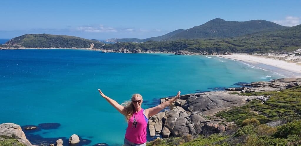
Starting out from the footbridge at Tidal River, you’ll turn left till you reach the sign post for Squeaky Beach. While you will be momentarily struck with how insanely awesome the view is, it’s not till you get round the next bend that it really opens up and you can see the coastline fully unobstructed. The turquoise water, granite shoreline rocks and surrounding mountains make for some of the best scenery possible. It really is a sight I could never get sick of.
More reading: 12 Things to do in Wilsons prom you’ll absolutely love
14. Tidal Overlook Circuit
Distance: 3.8 km return / 1.5 hours
Difficulty: moderate
Trail type: loop
Dogs allowed: No
Location: starts Tidal River footbridge, Wilsons Promontory National Park
Closest main town: Yanakie and Foster
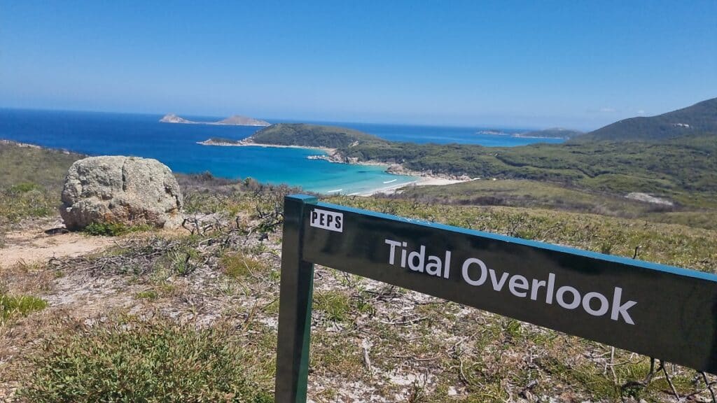
Starting from the Footbridge in Tidal River ,cross over then turn right till you reach the start of the circuit. I recommend going left which takes you up a short climb to the summit. It is somewhat challenging but when done at a steady pace is equally rewarding.
Once you reach the top the views of Squeaky Beach, Picnic and Whisky Bay come into view. The open landscape means views are completely unobstructed and simply sublime. You’ll also see Mount Bishop and Mount Oberon before starting a descent back toward Tidal River. I particularly love this hike as the views are ever changing.
15. Lyrebird Forest Walk
Distance: 4.8 km return (shorter version of 3 km also)
Difficulty: moderate
Trail type: loop
Dogs allowed: Yes (signs at the start of the trail show this contrary to other websites)
Location: Strezlecki Hwy, Mirboo North
Closest main town: Mirboo North
This stunning walk is one of the best things to do in Mirboo North.
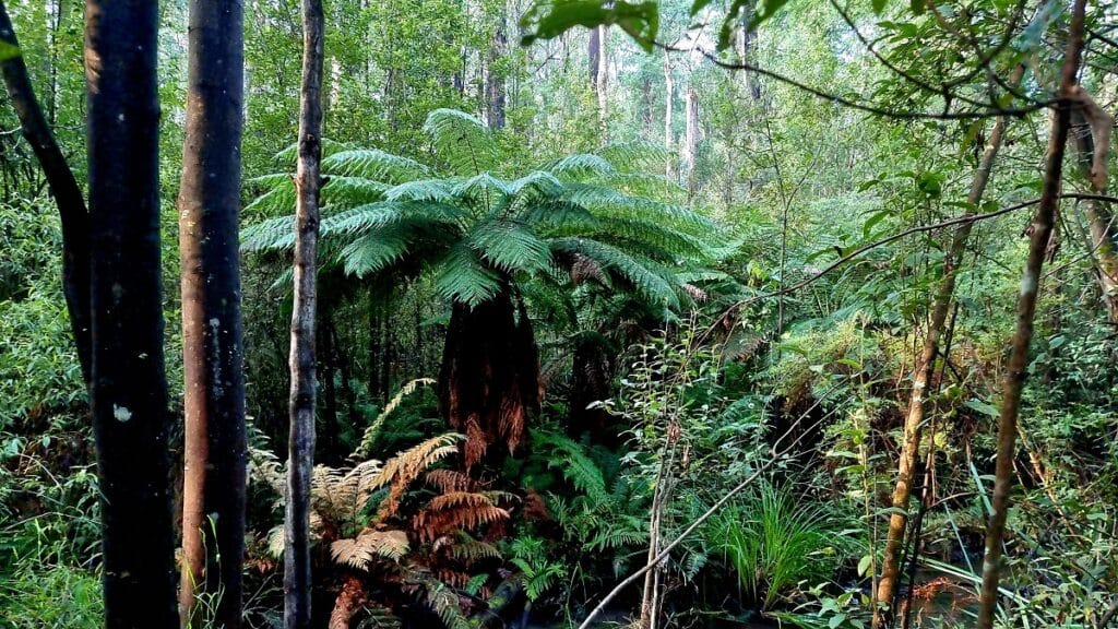
It starts off by following the scenic Little Morwell River. Lush ferns and native forest surround the wide path as it makes its way toward farm land around 1 km in. From here you’ll cross the bridge before making your way up a gradual incline.
From here the path winds its way through an open forest of native gum and banksia bushes. Certain times of year may produce some different fungi types to see. The bush is well and truly lit up to the sounds of birds singing as you continue your way through the forest and back to the car park.
Continue reading: The Charming Lyrebird Forest Walk – Your full guide
16. Christopher Robinson Trail – Old Port Trail
Distance: 5.5 one way / 11 km return / 2 hour return
Difficulty: easy
Trail type: one way in and out from either end
Dogs allowed: Yes
Location: best to start from Port Albert Wharf (or at Settlement Beach off Old Port Road)
Closest main town: Port Albert and Yarram
Named after the locally born and raised, Christopher Robinson was a keen fisherman who later became a member of the International Greenpeace movement, His heroic endeavors to stop whaling, nuclear testing and seal slaughter are lived on through this commemorative trail.
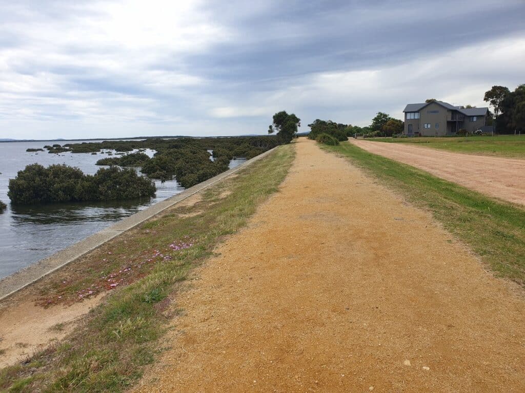
Starting from the end of the main street, the 11 km return trail leads away from the town along the waters edge. It’s a great place to enjoy bird watching and is relatively quiet once you get going further out. The trail has no shade on a warmer days so take sunscreen and water.
More reading: 10 Most Popular Things to do in Port Albert Victoria
17. Mount Oberon – Wilsons Prom NP
Distance: 3.4 km to summit / 6.8 km return / 1.5 to 2 hours
Difficulty: moderate to difficult
Trail type: one way up and down
Dogs allowed: No
Location: starts at Telegraph Saddle car park, Tidal River, Wilsons Promontory National Park
Closest main town: Yanakie and Foster
One of the most rewarding South Gippsland hikes that I have done is Mount Oberon. Though more of a challenging hike than a leisurely walk, just to clarify.
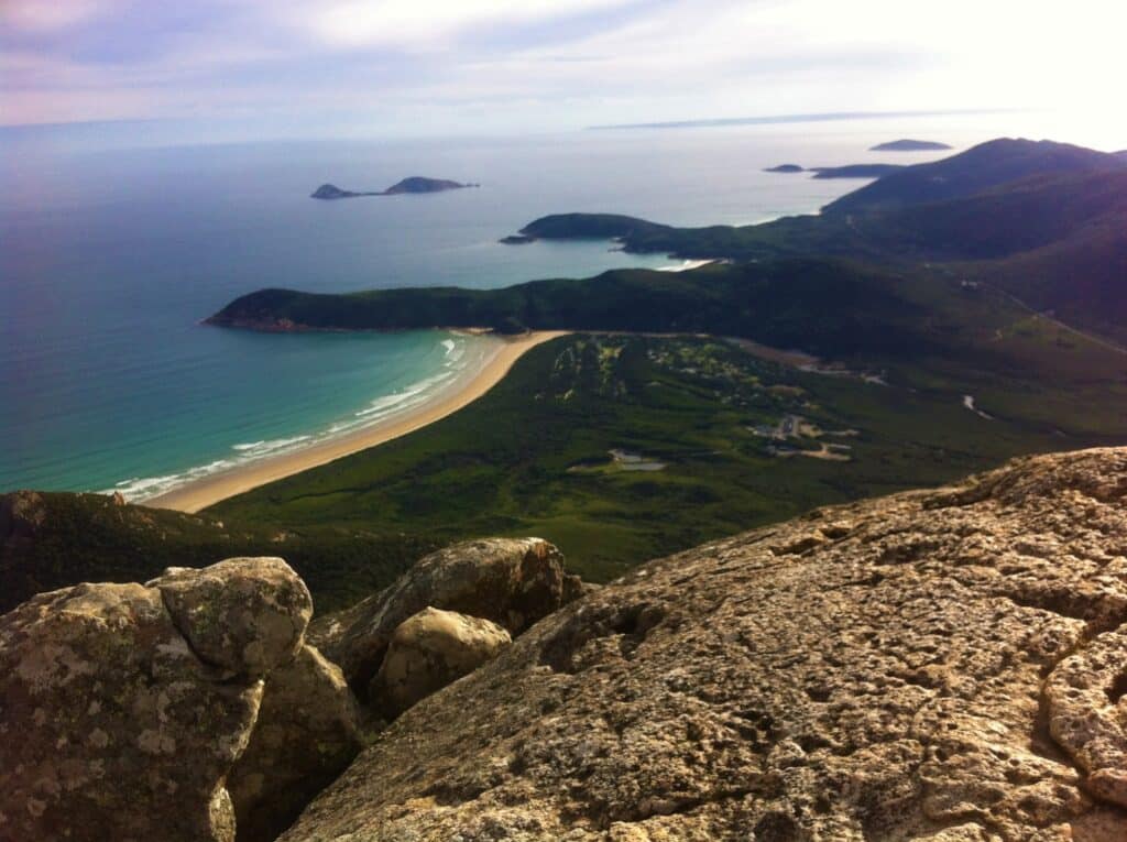
From the top of the mountain is a panoramic masterpiece, taking in several bays including Little Oberon, Norman, Whisky and Picnic Bay. It’s also the best place to grab that epic photo of you on top of the world.
The hike up is not the easiest as it winds up the mountain without any breathing space, but it’s the one everyone wants to do. The fact that the track is wide and well shaded certainly helps a lot. Also, if you are visiting during the height of summer, you will have to take the shuttle bus from Tidal River as the road in is closed due to minimal parking spaces.
More Reading: 12 Things to do in Wilsons prom you’ll absolutely love
18. George bass Coastal Walk
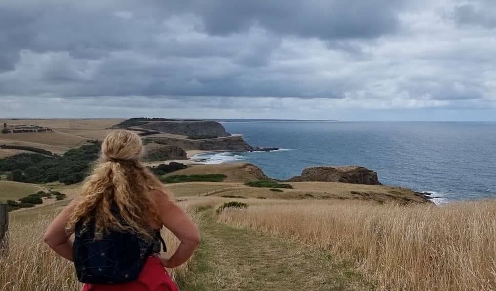
Distance: 7 km one way / 14 km return / 2 hours aprox one way
Difficulty: moderate
Trail type: one way starting either end
Dogs allowed: Yes
Location: from Kilcunda or Punchbowl Road, near San Remo
Closest main town: San Remo or Kilcunda
For endless breathtaking views, the George Bass Coastal Walk is an absolute highlight of the South Gippsland region. Rugged and untamed one day, still and stunning the next, whichever one you get to experience, it will be special.
Much of the trail is set high above the waters of Bass Straight, a panoramic clifftop wonder. The trail is well signposted and easy to navigate. It runs from the seaside town of Kilcunda all the way to Punchbowl Road on the outskirts of San Remo. The unobstructed views of sandy bays and rocky outcrops means you’ll be rewarded amid every step.
More reading: ultimate guide to the george bass coastal walk
19. Koonwarra to Meeniyan – Rail Trail
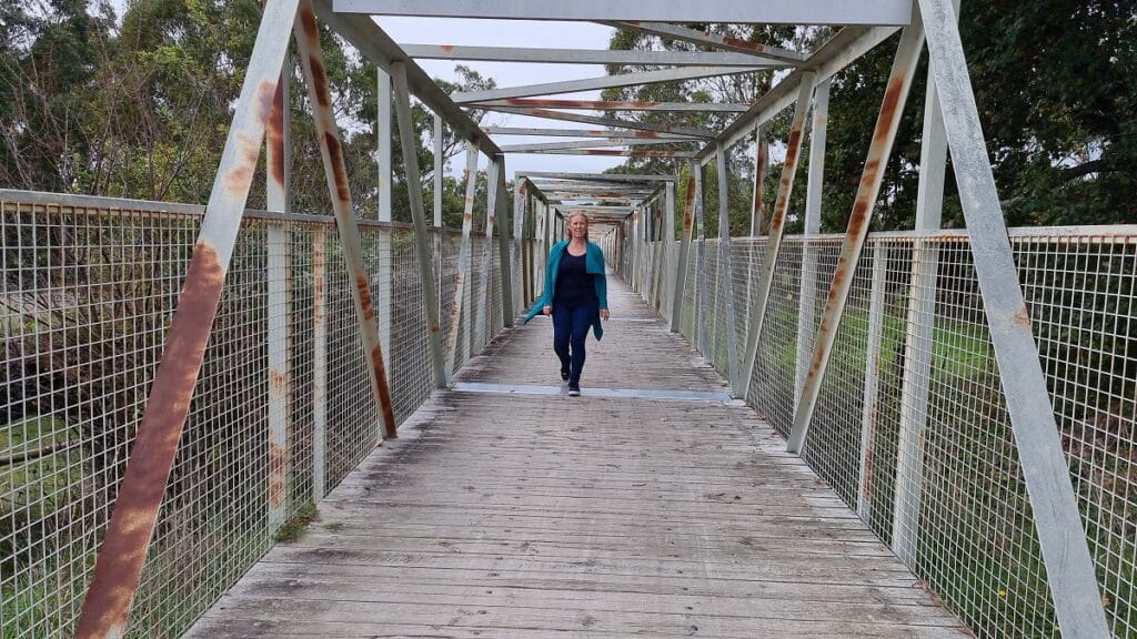
Distance: 8 km one way / 1.40 hours one way / 1.5 hrs approx one way
Difficulty: easy
Trail type: one way from either end
Dogs allowed: Yes
Location: start from Meeniyan or Koonwarra
Closest main town: Meeniyan
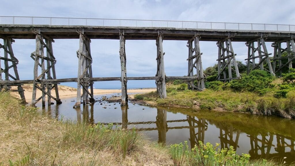
Walking the Great Southern Rail Trail is one of the best things to do in South Gippsland. The Koonwarra to Meeniyan section is particularly stunning and includes a number of pedestrian bridges along the way. The trail is highly maintained and relatively flat all the way.
The surrounding farm land and grazing cattle are a predominant sight, but you’ll also pass over sections of the Tarwin River. A highlight is the steel trestle footbridge that runs along side the former wooden trestle bridge.
More reading: 11 Best Things to do in Meeniyan
20. Grand Ridge Rail Trail
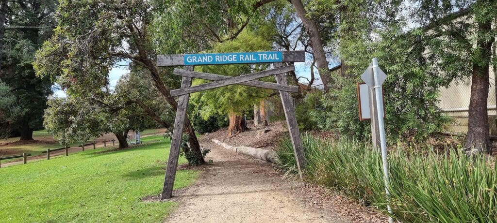
Distance: 13 km one way / 2.5 to 3 hours approx
Difficulty: easy to moderate
Trail type: one way from either end
Dogs allowed: Yes
Location: Start from Mirboo North (behind the brewery) or from the town of Boolarra
Closest main town: Mirboo North
The Grand Ridge Rail Trail is a popular Mirboo North attraction, and easily accessed from the centre of town. It offers a wide and well shaded track. During the walk you will be surrounded by dense bush, ferns and tall trees, and may even be lucky enough to see some wildlife along the way.
If you are planning to walk all the way to Boolarra, the track will slowly descend making the walk much easier than the opposite direction. This particular walk is beautiful even if you only go a short distance from town.
More reading: 7 Ultimate Things to do in Mirboo North
21. Korumburra to Leongatha – Rail Trail
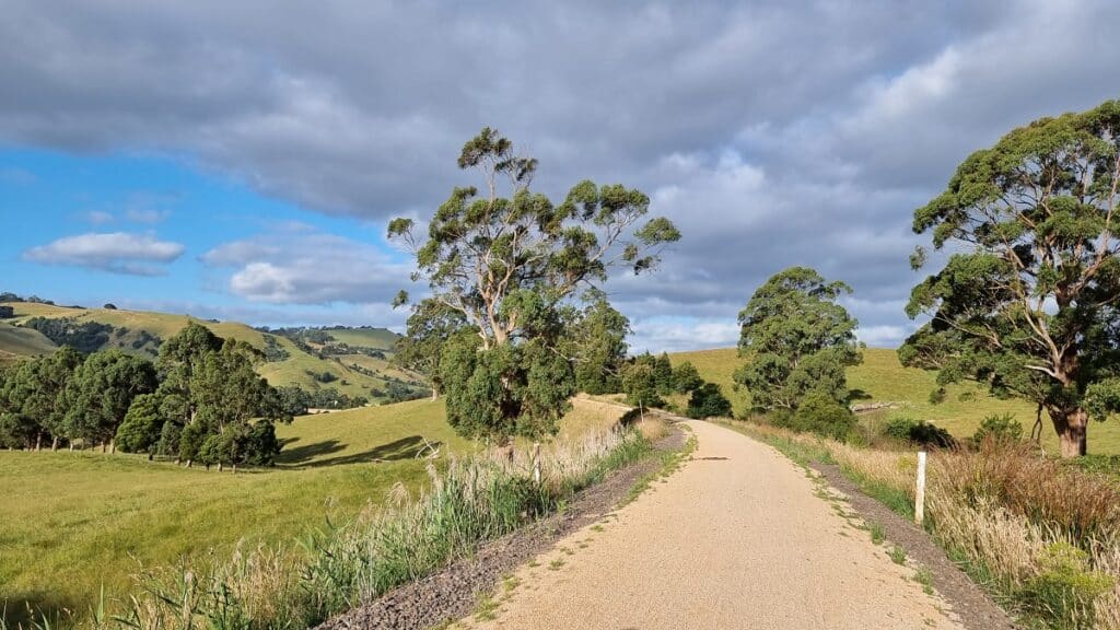
Distance: 15.8 km one way / 2.45 hours approx
Difficulty: easy to moderate
Trail type: one way from either end
Dogs allowed: Yes
Location: starting from Korumburra or Leongatha railway station
One of the longest South Gippsland walks is from the town of Korumburra to Leongatha.
An incredibly scenic portion of the Great Southern Rail Trail. From the Korumburra end you’ll quickly pass by the rolling hills of South Gippsland. Vast green farmland seen around sweeping trails is a wonderful highlight.
Soon you’ll be engulfed in rich forest and well shaded gully all the way to the area known as Ruby. From here on, its a slow incline taking you up toward the town of Leongatha.
The entire is trail is slowly undulating with no sections being too hard. For those wanting to experience only a portion of the trail I suggest the Korumburra end (try to go at least 3 km in then back) for the prettiest scenery. You’ll finish back in town just opposite the Korumburra Brewery for a rewarding cold beer to end the walk.
More reading: 7 Great South Gippsland Wineries, Breweries & more
walks in SOuth Gippsland conclusion
I hope you feel inspired to do some of these amazing walks in South Gisppland.
For further reading, check out my guide on South Gippsland Wineries, Breweries and more.

